Introduction to Navigational Equipment
Navigational equipment is essential for anyone wanting to explore uncharted areas. GPS, maps, and compasses are the three main tools that form the basis of navigation. GPS stands for Global Positioning System, and it relies on satellites to provide precise location information. Maps allow us to gain a visual representation of our environment, and compasses enable us to point ourselves in a specific direction. Together, these three pieces of equipment provide crucial information that allows us to confidently navigate any terrain.
In this guide, we’ll cover the basics of all three navigational tools, as well as their usage and importance.
GPS Overview
Global Positioning System (or GPS) is a modern navigational tool used to help locate and track positions in unfamiliar places. It is a technology that allows people to access their exact location, time and speed by receiving signals from satellites that send out the information. GPS offers features that maps and compasses don’t, such as the ability to generate specific routes, view destinations from multiple directions, track changes in elevation, and provide the user with detailed information about the surrounding area.
There is an array of GPS devices available for use that range from hand-held devices to apps that are installed on your smartphone. Hand-held GPS devices require you to input coordinates while apps like Google Maps use satellites to determine your exact position. You can choose GPS devices based on their functional capability, ranging from very basic GPS tools to complex GPS systems with advanced features.
Using GPS to Navigate
Whether you’re a digital explorer or physical explorer, getting lost isn’t fun. That’s why having the right navigational equipment is so important. The Global Positioning System (GPS) is a type of navigational device that can help you locate and navigate your way around unfamiliar locations. With the help of satellites in orbit around the Earth, GPS devices can provide accurate information on your current location and directions to reach your desired destination.
Using a GPS device is generally quite simple, but there are a few tips and tricks to keep in mind for maximum accuracy. To begin, you must first turn on the device and make sure that it has access to satellite signals. If the device requires a data/WiFi connection, ensure that the feature is enabled and that the device is near a strong data signal. Once the device is powered up and connected, it is ready to use.
Most GPS devices have a range of features that can be used for navigation. A common feature is the ability to “plot” or “mark” points on a map. This is handy for marking a specific position during a hike or bike ride so that you can easily find your way back if you get lost. GPS devices will also include tools for finding directions to a specific destination, as well as tracking your progress along the route. It’s also important to pay attention to the accuracy settings of the device, which can be adjusted based on the level of precision you need.
Finally, it’s best to update your GPS device regularly with the latest software and maps. This will ensure that you are getting the most accurate information available and that the device is functioning correctly when you need it. With these few tips and plenty of practice, you should be able to use a GPS device to comfortably and confidently explore new roads and trails.
Maps: Overview and Maps App
Maps are an essential tool for both physical and digital explorers. They allow us to navigate unfamiliar terrain and visualize features that can’t be seen in person. There are a variety of different kinds of maps available, from static paper maps to digital maps on smartphone apps.
For physical explorers, a map is a tangible tool that can be referred to during hikes or long trips. It can help them plot their route and anticipate changes in elevation or terrain ahead of time. While traditional paper maps may not have all the details that digital versions have, they are still a valuable resource.
Digital explorers rely on maps from smartphone apps such as Google Maps or Apple Maps. These digital versions of maps are more detailed than paper maps and can provide helpful real-time updates on traffic, navigation routes, and points of interest. Depending on the app, digital explorers can even download maps to view without an internet connection.
Regardless of the type of explorer, mastering the basics of maps is essential. Here are some of the fundamentals:
- Map scales indicate the ratio between distances on a map and distances in the real world.
- Contour lines are used to represent elevation on maps and are often helpful in predicting terrain changes.
- Grid lines divide the map into rectangles and can help with determining coordinates.
- Symbols mark specific locations or features on a map. Knowing the meaning behind the symbols will make maps easier to read.
Maps are an invaluable navigational tool and a fundamental part of exploration. Understanding the basics of maps and how to use them can make any journey become more enjoyable and efficient.
Reading and Interpreting Maps
Being able to read and interpret maps is an important skill for any navigator, as it allows for the discovery of new terrain features. Learning how to identify common symbols used in map making is essential for navigating unfamiliar areas. With the right knowledge, you can become a master of navigation.
Common Terrain Features on Maps
When looking at a map, there are certain features that you will need to be familiar with before interpreting it. This includes understanding topographical features such as mountains, rivers, lakes and valleys. In addition, other common features that you will need to be aware of include roads, trails and bridges.
- Mountains: generally shown as a series of jagged lines or peaks on a map.
- Rivers: represented by a long, thin line on a map.
- Lakes: usually shown as an enclosed shape, typically oval or circular in shape.
- Valleys: usually identified as a dip in elevation bordered by two hills on either side.
- Roads: often shown as a solid black line on a map.
- Trails: typically drawn as small dashed lines on a map.
- Bridges: are typically indicated by a thin solid line with arrows pointing in both directions.
Symbols Used on Maps
In addition to common terrain features, there are also map symbols that indicate specific points of interest. These may include buildings, public transportation, parks, and monuments, which can all be found on modern maps. It is important to be familiar with these symbols in order to properly interpret a map.
- Buildings: typically represented by a square or rectangle on a map.
- Public Transportation: such as buses and trains are typically symbolized by a circle on a map.
- Parks: often indicated by a green triangle on a map.
- Monuments: These are usually represented by an inverted triangle on a map.
By knowing how to identify common terrain features and understand symbols used on maps, you will be well on your way to mastering the art of navigation. Knowing how to interpret maps will allow you to confidently uncover unknown locations and gain a better understanding of the world around you.
Compass Usage
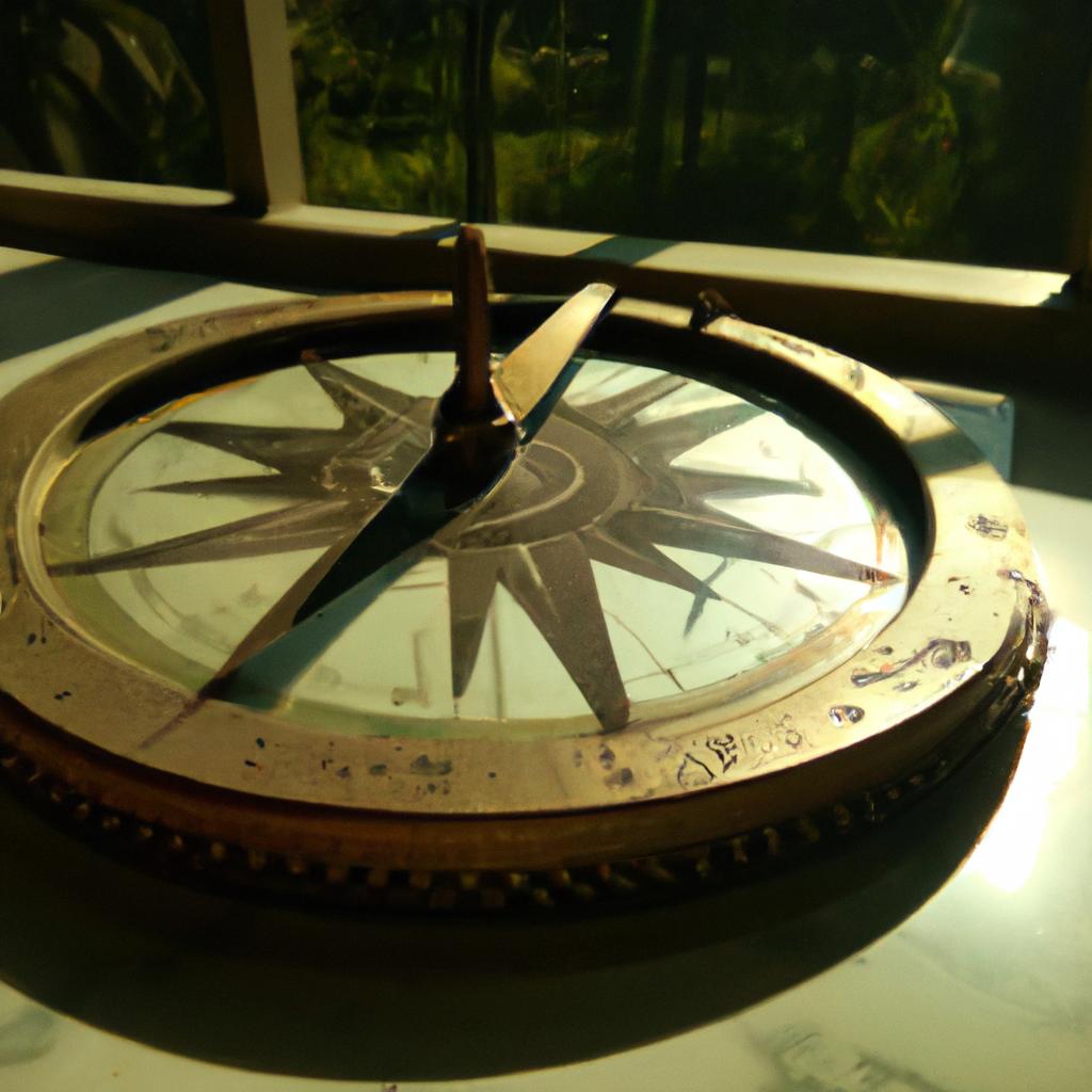
Using a compass is essential to navigate unfamiliar terrain. There are several types of compasses, each with their own uses. The three main types are: the magnetic compass, the gyrocompass, and the digital compass.
Magnetic Compass
The most well-known type of compass is the classic magnetic compass. This type of compass uses a magnetized needle to point north and shows users the four cardinal directions. These compasses can be used to orient yourself with what direction you are headed in relation to the cardinal directions.
Gyrocompass
The gyrocompass is a more modern type of compass. Unlike the magnetic compass, it does not rely on the Earth’s magnetic field, but instead uses the Earth’s rotation to determine the direction. The gyrocompass has an internal spinning wheel that always points towards true north. This makes them more accurate than the traditional compass.
Digital Compass
The digital compass is the most recent type of compass. It works in a similar way to the gyrocompass, but also uses digital sensors to accurately detect even small changes in direction. They are typically found in digital devices like phones and watches.
Using a Compass to Navigate Difficult Terrain
Compasses can be used to help you find your way in areas where there are no paths or landmarks. To use a compass successfully, you need to learn how to find the direction of a desired destination, the angle you should move in, and how to adjust for drift.
- To find the direction of your destination, first line up your compass so it is facing north. Then line up the needle with the North marking on your compass. Once you do this, try to identify any features, like a mountain peak or power line, in the direction you want to go.
- To get the angle you should move in, point the compass at the feature you identified. Then look at the angle markings on the compass, this will tell you the direction you should move in.
- Lastly, you need to adjust for drift. This means you need to account for any movements caused by the wind or current. To do this, take note of the direction you should move in and then adjust it by a few degrees every few minutes.
By using these methods, you will be able to navigate difficult terrain with ease. Just remember that practice makes perfect, so make sure to give yourself plenty of time to familiarize yourself with how to use a compass.
Conclusion
Navigational equipment such as GPS, maps and compasses, are essential for those who explore the world around them. GPS technology has revolutionised how we locate and navigate unfamiliar locations, allowing us to find our way even when we lack a detailed knowledge of the surroundings. Maps provide an invaluable resource for anyone wanting to explore physical or digital domains, offering a wide range of features that can help uncover hidden secrets in any environment. Compasses are also an important navigational tool, allowing us to measure direction and tackle difficult terrains even when the map is unavailable.
Equipping yourself with the right navigational tools is key to a successful journey and should always be considered before setting out on a new adventure. Using a combination of a GPS device, maps, and a compass will give you the best chance at reaching your destination. So make sure to arm yourself with the knowledge to use these tools correctly and the confidence to explore the unknown.
comments: 0

More Stories
Get Ready for Winter Adventures: The Ultimate Guide to Cold-Weather Clothing
Capture the Wild in High-Resolution Photos: Essential Gear for Adventure Photography
Ready to Go Off-Road Cycling? Here’s the Gear You’ll Need!